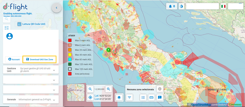
The D-Flight portal has made the geographical zone download service available to UAS Operators in a format compliant with the EUROCAE ED-269 "Minimum Operational Performance Standard For UAS Geofencing" standard, as required by community and national legislation and in agreement with ENAC.
The file is available for download in JSON format. For each UAS geographical area represented, in compliance with the data model envisaged by the standard, information is reported regarding the volume of airspace used, its temporal validity, the applicable rules and any references to contact for access.
The information on the UAS geographical areas in Italy, constantly updated, is therefore also available in digital form to support UAS Operators and guarantee increasingly higher levels of awareness and safety of unmanned operations.


