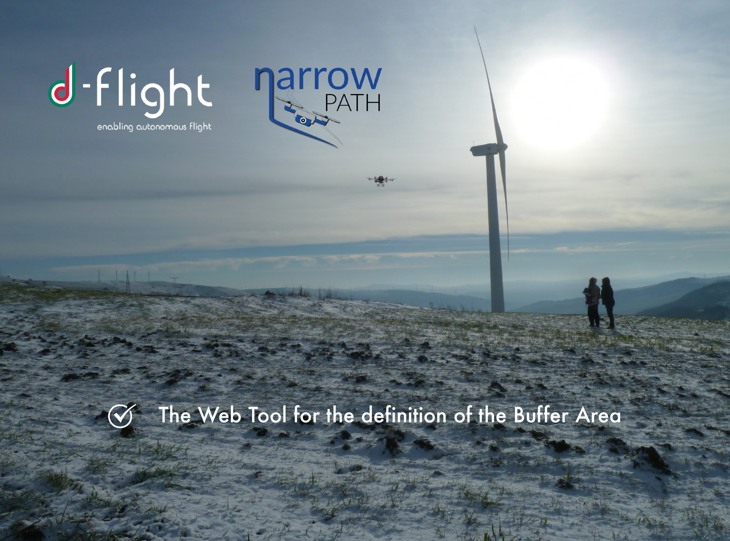
Rome, April 24th, 2020 - d-flight, ENAV group company responsible for the provision of drones' services, and TopView srl, an engineering company operating in the Aerospace and ICT sector providing U-Space services, have signed a partnership aimed at integrating the "NARROW PATH" simulator among the services offered by the d-flight portal.
The service offered by the new application will allow you to have a forecast on flight conditions in a strategic phase with updated and dynamic information, on both conditions of the airspace affected by the mission and any ground conditions, so that risks on ground towards third parties are minimized.
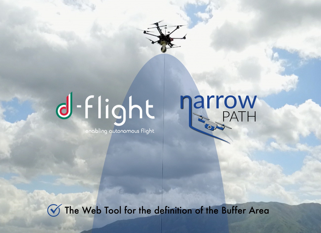
The simulator will in fact provide specialized services to evaluate and monitor, in the planning phase and in the tactical phase, the Total System Error and the Flight Technical Error for different types of drones. In particular, the service powered by d-flight data, will be able to estimate the level of horizontal and vertical protection of a drone in flight, projecting the protection buffer dynamically on a map. This functionality will be useful for operators in all flight phases, intercepting any variations between the planned and the actual flight.
NARROW PATH will also have the opportunity to be enriched with innovative features during the development roadmap, such as those relating to the estimate of population density on the ground of a geographical area of interest. This functionality will be useful for the strategic flight planning phase on the d-flight portal, and will also play a central role in the tactical phase since it can generate any warnings during the flight, if population density increases strongly near the trajectory and position of the drone. Furthermore, the availability of additional d-flight services, such as those relating to the georeferencing of obstacles and low-altitude structures, could further enrich the NARROW PATH service, providing additional added value to end users.
The combination of tracking data generated by drones (equipped with drone boxes) and that taken by meteorological services, will allow the service to be provided in real time too, and that is an essential element to which the partnership with d-flight aims.

Cristiano Baldoni, CEO of d-flight S.p.A, has declared: "The integration of NARROW PATH platform in the services offered by d-flight is part of the intention of providing services with high added value to users, ensuring greater automation of the analysis processes risk for operations and simplifying procedures on the platform. We are convinced that there's still a lot of work to do but we're sure that we have taken the right path to make d-flight an easy and intuitive platform, at the same time able to guarantee the safety of operations."
Salvatore Mennella, CEO of TopView s.r.l., said: "We are pleased to announce the new partnership with d-flight, which will allow us to contribute to the implementation of Unmanned Traffic Management services. The research activity in the U-Space field, in which we have been involved for several years, has revealed interesting considerations on the navigation of drones at low altitude, developed in the NARROW PATH study. Thanks to the experience as UAS operators and the experimental results obtained, we are confident that the NARROW PATH service will allow pilots to increase the efficiency and safety of flight operations."